Environmental obligation intelligence
Every ecological obligation,
traceable.
VerdaTrace turns environmental approvals, amendments, maps, and field evidence into source-cited obligations and prioritized action.
Clause-level citations Live satellite view Human-reviewed decisions No fabricated geometry
The system behind the promise
From approval document to accountable action.
VerdaTrace connects every obligation to its source, revision history, spatial evidence, and reviewer decision.
Explore the live case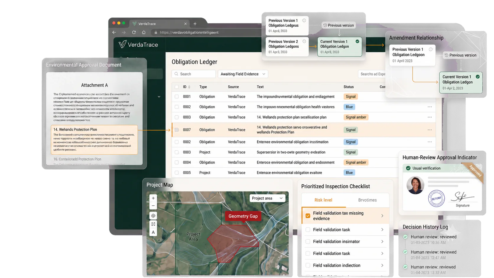
The VerdaTrace product suite
Three products. One evidence system.
Understand what was promised, see what changed on the ground, and know what to do next.
01 Live
Case Intelligence
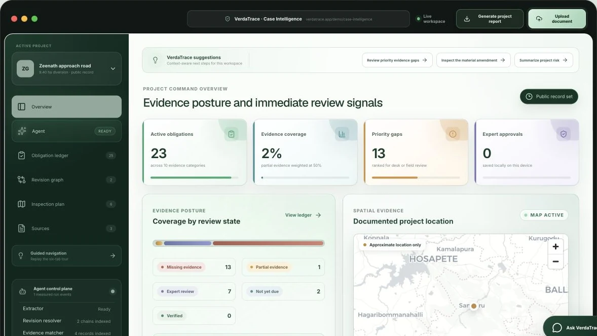
Turn approvals, amendments, maps, images, and field records into a source-cited list of obligations.
- Identify the current requirement
- See what evidence is missing
- Prepare a focused review plan
02 Live
Dynamic World Spatial Evidence
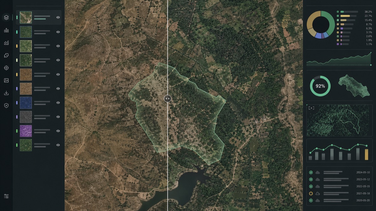
Open a live, interactive satellite view of a documented parcel. Pan, zoom, and compare annual land cover with confidence-aware Earth Engine evidence.
- Explore real satellite imagery
- Review supported spatial signals
- Queue human-reviewed inspection tasks
03Coming next
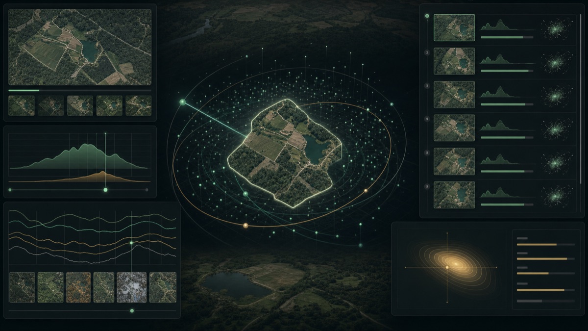
AlphaEarth Similarity Intelligence
Compare annual parcel representations, retrieve similar landscapes, and rank unusual change for expert investigation.
Risk thresholds will only be displayed after expert calibration.
View the research roadmap Meet VerdaTrace
See how ecological promises become traceable action.
A short introduction to the obligation ledger, amendment-aware reasoning, evidence mapping, and human review behind VerdaTrace.
This video includes audio.Press play and turn your sound on for the full introduction.
VerdaTrace introductionPress play · sound on
The accountability gapA promise is not proof.
A promise is not proof.
Make every obligation traceable.
Reviewers reconstruct the same chain repeatedly—across long PDFs, later amendments, maps, inspection notes, and disconnected proof. The result is slow review and broad field work with little shared memory.
Conditions are buried
Quantities, deadlines, responsible parties, and locations sit across pages and annexures.
Approval documentsAmendments break continuity
Replacement clauses can remain active beside the wording they superseded.
Revision driftEvidence stays fragmented
Reports, notifications, field photos, and geometry have no common obligation index.
Evidence silosInspections start too broad
Teams visit without a ranked set of unresolved, high-value verification questions.
Review costAI-native by design
Five focused agents handle the repetitive work. Your team keeps the judgment.
Each agent performs one bounded task and produces a structured, inspectable handoff. Deterministic rules, source citations, and reviewers control the points where errors would matter most.
Agentic operating layer
Ask VerdaTrace to find, explain, navigate, and prepare the next action.
VerdaTrace agents can investigate, navigate, filter, prepare tasks, and generate reports. Experts approve consequential findings.
Show obligations with missing evidence.Explain the current amendment.Open the highest-priority inspection tasks.Generate the branded project report.
Obligations + citations
Amendments + precedence
Evidence + geography
Coverage + uncertainty
Inspection priorities
Public demonstration case
See the obligation chain, not another generic dashboard.
The demo uses real public records for a Karnataka forest-clearance proposal. It shows how an amendment changes the treatment of a 9.54-hectare parcel while every unchanged condition remains in force.
- 25 structured ledger entries
- Correct supersession chain
- Explicit spatial evidence gap
- Human approval controls
Evidence coverageUpdated from public record set
2%evidence coverage
Geometry gap: amended parcel boundary unavailable
Why this compounds
A defensible intelligence layer for ecological obligations.
The product advantage is not document summarization. It is the accumulated graph connecting obligations, revisions, evidence, geography, decisions, and field outcomes.
Revision intelligence
A living obligation graph
Conditions are versioned as a connected system. Replacements supersede old requirements without erasing their history.
Clause → revision → current dutyEvidence provenance
Traceability by construction
Every finding carries its document, page, clause, evidence links, model confidence, and reviewer state.
Zero uncited findings in the demoSpatial readiness
Honest geometry, useful gaps
Available boundaries and evidence are mapped. Missing geometry is a first-class risk signal—not a polygon the model invents.
KML + GeoJSON + Earth Engine roadmapBounded agency
AI proposes. Experts decide.
Small agents produce structured handoffs while deterministic rules protect dates, quantities, revisions, and legal boundaries.
Consequential outputs require approvalOne project source of truthObligations, evidence, and action
Current obligations
Evidence trail
Expert sign-off
Project governance
One clear decision trail for every project.
VerdaTrace brings the requirements, evidence, changes, and next actions for each project into one source-linked workspace. Teams can see what applies now, what is missing, and what needs expert review.
Current obligationsSee the requirements that apply now, with superseded clauses kept separate
Evidence-linked findingsOpen every finding back to its document, clause, field record, or spatial result
Review-ready actionTurn evidence gaps into prioritised desk checks, field tasks, and expert decisions
One obligation model, many mandates
Start with forest clearance. Expand across nature risk.
Compensatory afforestation
Approval conditions, plantation evidence, and inspection planning.
Biodiversity offsets
Habitat commitments, monitoring plans, and outcome evidence.
Infrastructure permits
Location-bound mitigation duties across long project lifecycles.
Nature-finance portfolios
Comparable evidence coverage across projects, partners, and sites.
Research before rhetoric
Open the research room Explore the methodology, limitations, and public source chain.
Read how the obligation ontology works, what the current benchmark does and does not prove, and where AlphaEarth and Dynamic World fit into the validation roadmap.
Make the next inspection count
Bring one project. Leave with a traceable review plan.
Start with the public case or discuss a partner-reviewed pilot for your environmental workflow.